
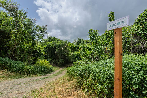
A OK Run
A OK Run begins on Concordia Ridge and follows a steady drop down the south side of the ridge through quiet terrain.
Location
The trailhead is at approximately 17.773510, –64.776120,
starting on Concordia Ridge on Scenic East Road.
Length
2,480 ft (~0.47 miles)

Difficulty
Moderate
rated Blue for biking,
T1 on the SAC hiking scale
Hike Duration
~10-15 minutes (estimate for hiking a ~0.5 mi trail)
Trail Experience
A Ok run offers a short but engaging descent with a natural feel and a clear sense of leaving the high ridge for the lower forested slopes.
Type
One way downhill trail that can be done as part of a larger loop or as an out and back if you return the same way
Activities
Hiking and biking only
Access and Facilities
Access from Concordia Ridge road with no services on the trail so bring what you need
Highlights
Quiet terrain, and a smooth drop into the lower forested slope
Safety and tips
Wear sturdy shoes so you have good footing on the descent.
Bring water since the sun can be strong on the ridge.
Carry a cellphone in case you need help or lose your way.
History and Significance
The trail was created to give people a quiet way to reach the lower south slope of Concordia Ridge using a natural path that blends with the landscape. It supports local efforts to expand low impact recreation on St Croix and helps connect the growing network of human powered routes on the island.


